Objective
The new goal of this project is to implement a real-time road quality inspection system using AI-on-the-Edge technologies, specifically deploying deep learning models on edge devices like the Nvidia Jetson Nano. This approach aims to enhance the efficiency and accuracy of pothole detection, making it more feasible for real-time applications.
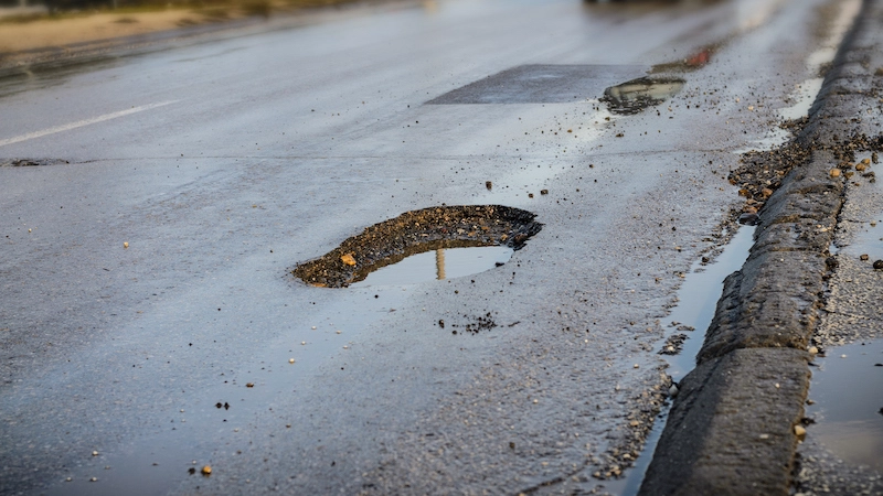
Potholes make roads unsafe.
Prior Work
Previously, pothole detection was achieved through various methods including manual inspections, sensor-based systems, 3D reconstruction, and traditional computer vision techniques (Eriksson et al., 2008)(Abou Chacra & Zelek, 2018). However, these methods faced challenges such as being time-consuming, costly, weather-dependent, and requiring expensive hardware. Traditional computer vision techniques also suffered from false detections and were less effective in varying road conditions (Ruseruka et al., 2023).
Benefits
The new approach will benefit road maintenance authorities by providing a faster and more accurate system for detecting and responding to potholes. Additionally, it can be advantageous for self-driving applications, the automation industry, and possibly public safety sectors by improving road condition assessments and reducing the risk of accidents.
Enabling Technologies
The key enabling technologies of the new approach include deep learning models (specifically YOLO family models like YOLOv8), AI-on-the-Edge implementation using the Nvidia Jetson Nano as the edge computing platform. The system also leverages the Nvidia TensorRT for model deployment on edge devices.
The success of the new approach can be quantified through various performance metrics such as mean average precision (mAP), detection accuracy, frames per second (FPS), and inference time.
References
2023
-
Road Condition Monitoring Using Vehicle Built-in Cameras and GPS Sensors: A Deep Learning Approach
Cuthbert Ruseruka, Judith Mwakalonge, Gurcan Comert, and 2 more authors
Vehicles, 2023
Road authorities worldwide can leverage the advances in vehicle technology by continuously monitoring their roads’ conditions to minimize road maintenance costs. The existing methods for carrying out road condition surveys involve manual observations using standard survey forms, performed by qualified personnel. These methods are expensive, time-consuming, infrequent, and can hardly provide real-time information. Some automated approaches also exist but are very expensive since they require special vehicles equipped with computing devices and sensors for data collection and processing. This research aims to leverage the advances in vehicle technology in providing a cheap and real-time approach to carry out road condition monitoring (RCM). This study developed a deep learning model using the You Only Look Once, Version 5 (YOLOv5) algorithm that was trained to capture and categorize flexible pavement distresses (FPD) and reached 95% precision, 93.4% recall, and 97.2% mean Average Precision. Using vehicle built-in cameras and GPS sensors, these distresses were detected, images were captured, and locations were recorded. This was validated on campus roads and parking lots using a car featured with a built-in camera and GPS. The vehicles’ built-in technologies provided a more cost-effective and efficient road condition monitoring approach that could also provide real-time road conditions.
2018
-
Municipal infrastructure anomaly and defect detection
David Abou Chacra, and John Zelek
In 2018 26th European Signal Processing Conference (EUSIPCO), 2018
2008
-
The pothole patrol: using a mobile sensor network for road surface monitoring
Jakob Eriksson, Lewis Girod, Bret Hull, and 3 more authors
In Proceedings of the 6th International Conference on Mobile Systems, Applications, and Services, Breckenridge, CO, USA, 2008
This paper investigates an application of mobile sensing: detecting and reporting the surface conditions of roads. We describe a system and associated algorithms to monitor this important civil infrastructure using a collection of sensor-equipped vehicles. This system, which we call the Pothole Patrol (P2), uses the inherent mobility of the participating vehicles, opportunistically gathering data from vibration and GPS sensors, and processing the data to assess road surface conditions. We have deployed P2 on 7 taxis running in the Boston area. Using a simple machine-learning approach, we show that we are able to identify potholes and other severe road surface anomalies from accelerometer data. Via careful selection of training data and signal features, we have been able to build a detector that misidentifies good road segments as having potholes less than 0.2% of the time. We evaluate our system on data from thousands of kilometers of taxi drives, and show that it can successfully detect a number of real potholes in and around the Boston area. After clustering to further reduce spurious detections, manual inspection of reported potholes shows that over 90% contain road anomalies in need of repair.
